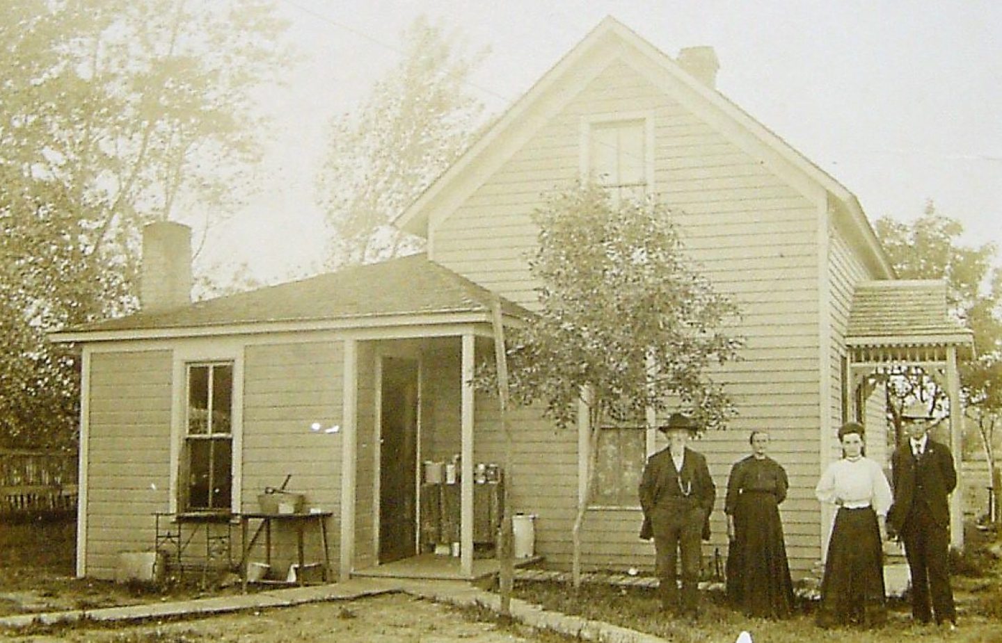
Welcome back! Last week, I delved into some of our Irish ancestors, James Robert Porter and his son, Andrew Porter. They came from Donegal area in Ulster, Ireland and settled in the area of Cecil County, Maryland Colony in the early 1700’s. This week I wish to reveal some of my findings on Andrew Porter’s son, Capt. Robert S Porter, my 6th great- grandfather.
Robert S Porter was born 1737-1740 in the Virginia Colony of British America. He was the only son of Andrew and Eleanor (Ellen) Gillespie as his mother died shortly after his birth. His father did remarry to Margaret Leiper who raised Robert and possibly 9 other children! The family moved to Virginia in the Cripple Creek area. (see below) Robert married Margaret Lindsay Ewing who was born circa 1745 in Philadelphia, Pennsylvania Colony and died in July 1808 in Blount County, Tennessee. Robert and Margaret were married 29 April of 1765 in Pennsylvania and Margaret was the daughter of Alexander Ewing. They had 9 children, one of whom was named Andrew Porter after his grandfather and became my 5th great-grandfather.
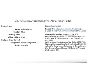
There is not much information found yet on Robert but he is listed the AGBI and was an officer of the Continental Army. He was Captain of Porter’s Regiment and is a DAR ancestor # A091290. Robert died 6 Aug 1781 at aged 40 or 41. He died a relatively young man in Montgomery County, Virginia. His burial site is unknown.
However, I did happen upon a really neat map from 1793 of the Cripple Creek area which shows the land holdings of my ancestors that I would like to share!
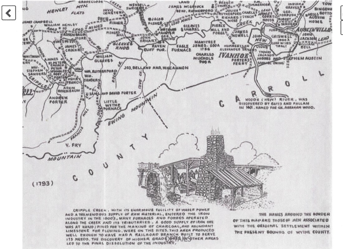
On the map is seen the land holdings of Andrew Porter, father of Robert Porter in the middle left side. Land belonging to Robert Porter is shown above Andrew’s land. Notice also the names of William Gleaves and the Ewings. Robert’s wife was an Ewing and the Ewing family must have been quite prominent in the area to have a mountain named after them! Robert and Margaret’s son, Andrew, married the daughter of William Gleaves whose land is also noted not far from Andrew Porter. Towards the middle right side of the map is “Porter’s Ferry” (just under Ivanhoe) which is the ferry that James Robert Porter (the immigrant) willed to his sons William and Andrew Porter. A mill on Cripple Creek was also owned by the Porter family. Above Porter’s Ferry is land held by a John Lyons which could also be an ancestor! The map notes that “the names around the border of the map are those of men associated with the original settlement within the present bounds of Wythe County (Virginia).”
So our ancestors were among the original settlers of Wythe County, Virginia! This map was just too interesting to keep to myself and I hope you enjoy it! Next week, I plan to explore more Porter ancestors starting with Robert’s son, Andrew.

One thought on “An Ancestral Map from 1793!”